
Two drastically different parts of the state. Or are they really?
Growing up, I had no idea what western Iowa really held. In fact, it seemed to make sense to me that no one in their right mind would live any farther west than Des Moines. Up until that point I had thought there wasn’t much out there.
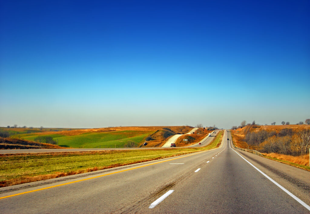
Eastern Iowa has 7 cities with a population of over 20,000 people, whereas western Iowa has only 3 cities. If you include Fort Dodge, which when looking directly at a map, seems to fall on the western side of the state. This being said, I had thought that there wasn’t anything in western Iowa.
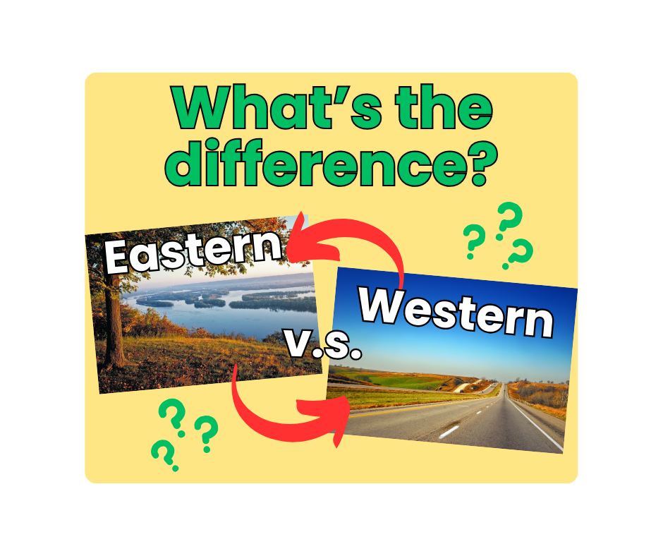
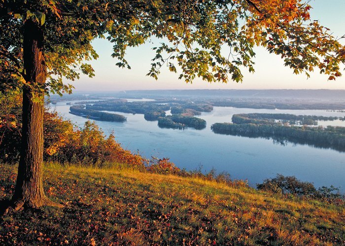
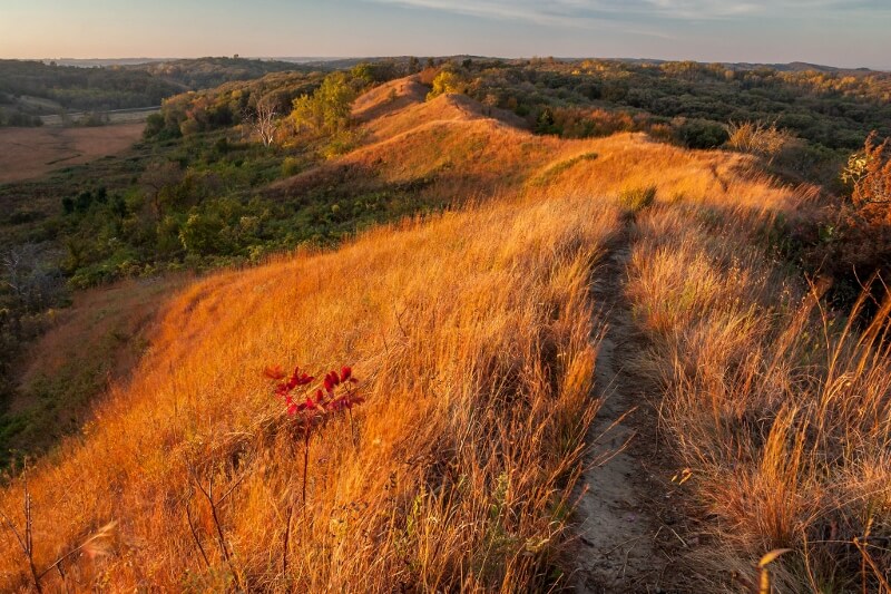
In eastern Iowa, the geography is very forgiving. Like any part of the midwest, there’s a cornfield in every direction. More than that though, there are rolling hills, and beautiful river valleys all the way from Muscatine to Lansing. The other half of the state contains much of the same, but with one major landmark: Loess Hills. These formations were formed in the last 30,000 years from glacial movement and wind depositing silt and soil.
To my surprise, there was much to reconsidered.
Journeying throughout much of the south and northwest of Iowa on a roadtrip excursion this past summer, I saw lots of what I was wrong about.
People DO live there! More than that, that side of the state is essentially the same. Apart from the drastic Loess Hills on the very western side, which are basically mini-mountains, it looks the same. This was really shocking for me. Granted, things looked slightly different, but for the most part it was the same.
I realized at this point that western and eastern Iowa are not so different after all.
Leave a Reply